Discover Our New Features Now
In the past few months, we've been working on some exciting new features to take your motorcycle adventures to the next level. Here are the highlights.
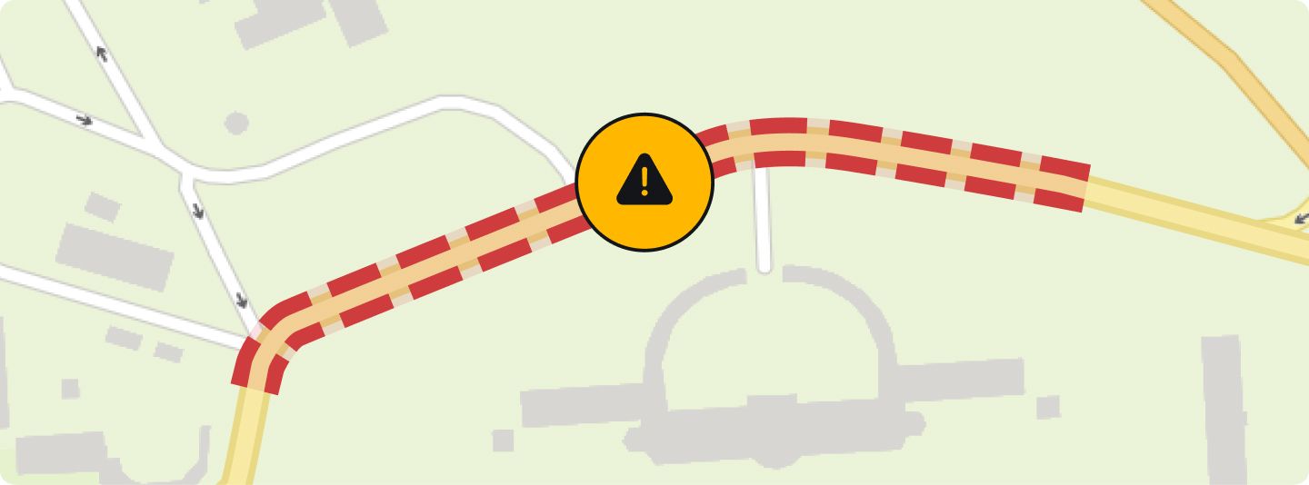
Improved Handling of Road Closures
We now display user-reported road closures directly on the map. Each report enhances our data quality and accuracy, helping you avoid detours due to unexpected blocked roads.
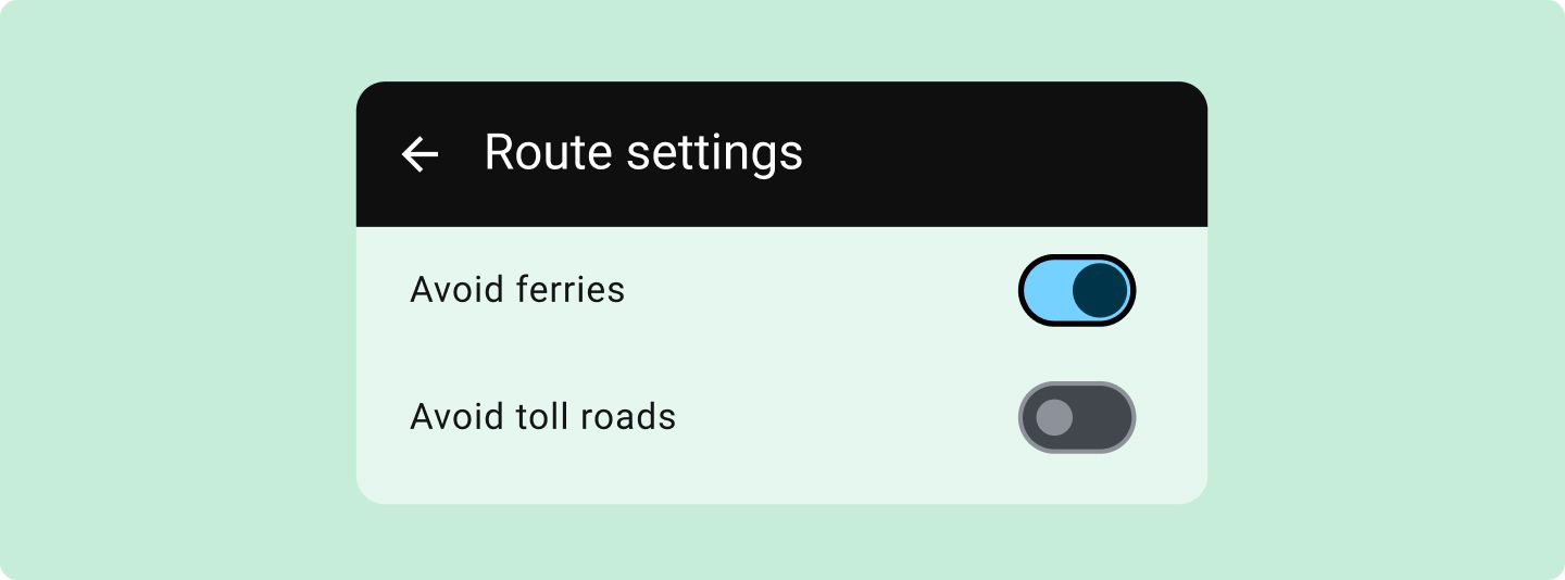
Avoid Ferries and Toll Roads
Now you can explicitly exclude ferries and toll roads when planning your route. In the app, you can find this feature during planning at the bottom right: "3-dot menu -> Route settings." In the Trip Planner on our website, you can find the options under "More."
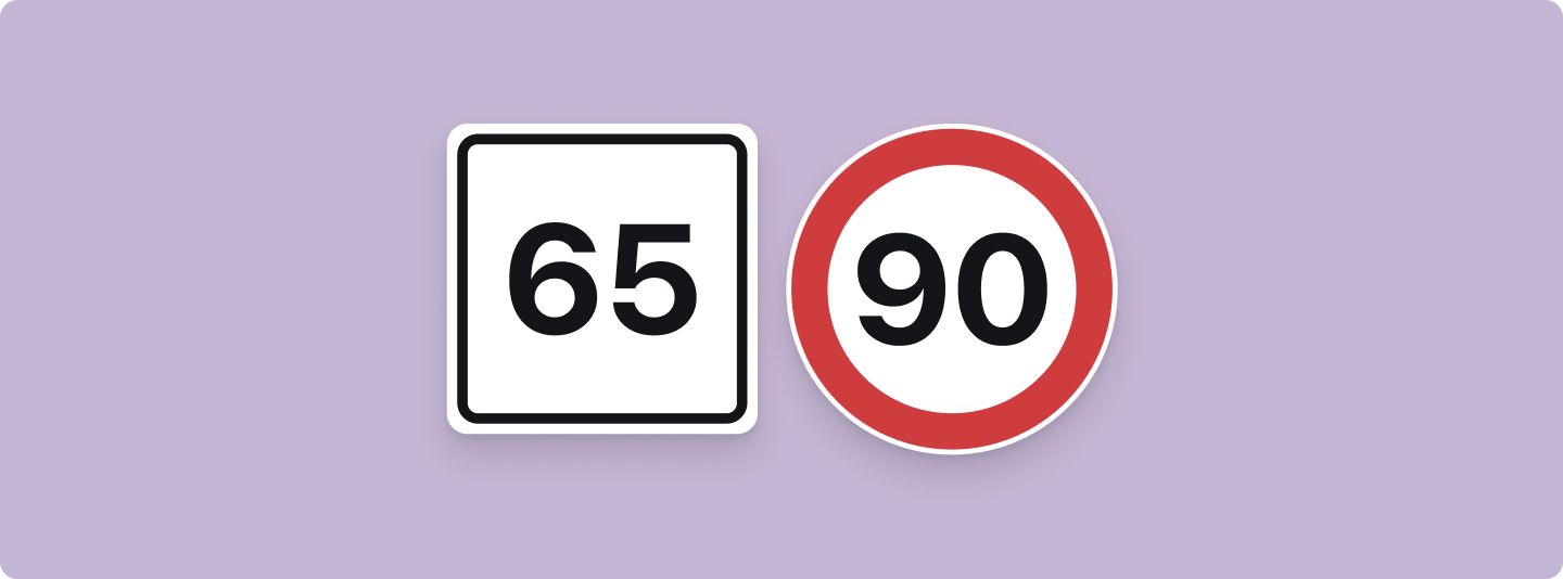
Speed Limit During Navigation
You'll now spot speed limits worldwide during navigation, appearing in the top right corner. Nothing there? It means we're short on data for that road. You can adjust the option to display this in the Settings anytime. Just a heads-up: The data is, unfortunately, not always perfect.
What Else Have We Improved?
Weather, radar, and some POIs removed
Farewell to weather updates, the precipitation radar, and a few POIs. Our aim is a sleeker, more focused calimoto. Given minimal usage of weather data, the radar, and specific POIs (like ATMs, motorcycle & ice cream shops), we've opted to remove these features from the app.
Calimeter calculation
Our Calimeter now delivers even more precise results. While most routes see little change, those with numerous curves, like switchbacks, are now computed with even greater precision, potentially resulting in slightly higher Calimeter values.
Enhanced maps
As of mid-April, we've rolled out a map update. These improved maps now feature current road construction information, revisions to new and existing roads, and overall bug fixes.


